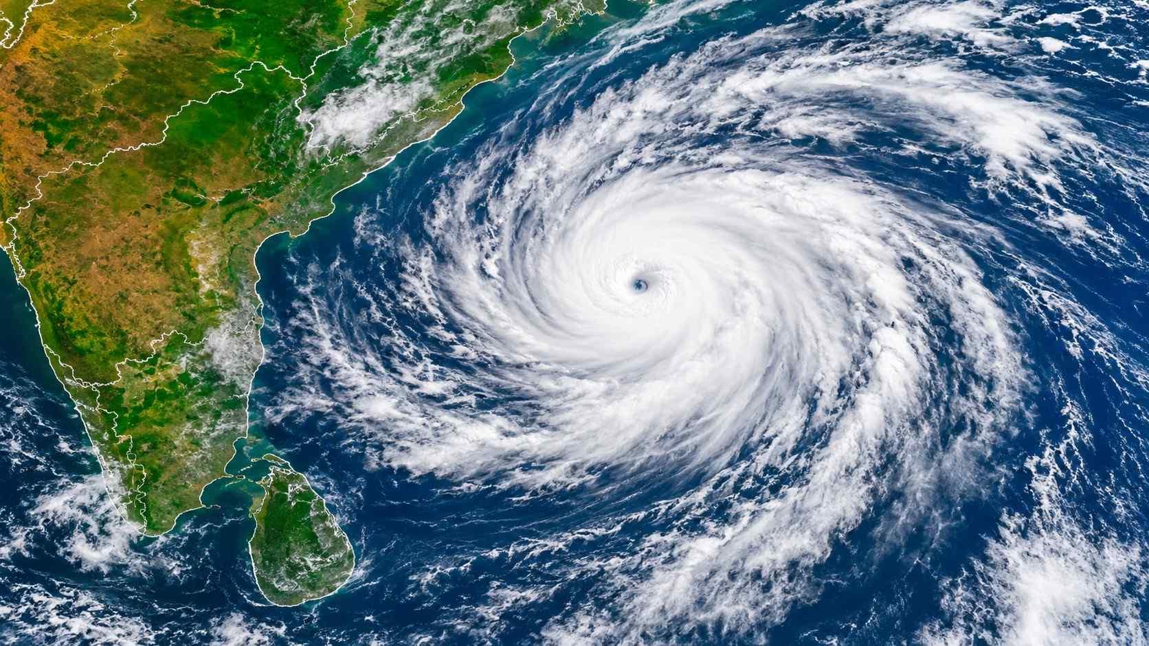
Cyclone Akvan is moving over the Bay of Bengal at around 3 kmph, with the India Meteorological Department (IMD) warning that the system is expected to make landfall along the Andhra Pradesh coast on Friday, November 20. Telangana and Odisha have also been placed on alert.
Although a cyclone’s forward speed alone does not determine the extent of destruction, a slow-moving system can keep rain-bearing clouds over the same area for longer. This raises the possibility of higher accumulated rainfall, waterlogging and river flooding.
A 2021 study published in the Journal of Hydrometeorology analysed 280 tropical cyclones that made landfall between 2010 and 2019. It found a strong link between a storm’s forward movement and the severity of flooding. Cyclones that travelled more slowly generally produced heavier cumulative rainfall across affected areas.
The study explained that when a cyclone takes longer to move away, its rain-bearing circulation continues to influence the same region. The prolonged rainfall allows more water to collect, increasing the risk of flooding.
Total precipitation was identified as one of the strongest factors associated with flood severity. The size and intensity of the storm, moisture already present in the soil and the slope of the terrain were also found to influence the extent of flooding. Researchers pointed out that even relatively weak tropical storms can cause severe floods, meaning wind intensity alone is not a reliable indicator of flood danger.
Another study, published in Nature Communications in 2022, examined satellite observations of rainfall recorded between 2001 and 2020. It found that the average rainfall rate inside tropical cyclones increased with their forward speed. Fast-moving cyclones recorded rainfall rates about 24 per cent higher than slow-moving systems, with the difference becoming more pronounced in the most intense storms.
However, a higher rainfall rate does not automatically mean that a faster cyclone will produce more rain in total. A slow-moving storm can remain over one region for a longer period, allowing its cumulative rainfall to exceed that of a faster system. The study found that the additional time spent over an area can outweigh the difference in average rainfall rate.
For this reason, the likely impact of a cyclone depends on several factors, including its intensity, size, rainfall pattern, track and interaction with other weather systems, rather than speed alone.
Three cyclonic systems in quick succession
In Akvan’s case, meteorologists are also monitoring the formation of three cyclonic systems over a short period. Cyclone Arnab crossed the Andhra Pradesh-Yanam coast near Narsapur on October 28, followed by Cyclone Murasu, which crossed the south Andhra coast near Ongole on November 3.
The October-to-December period is generally favourable for cyclone development over the Bay of Bengal. The occurrence of three cyclonic storms, however, points to heightened oceanic heat content and the influence of El-Nino, which is contributing to the unusual spell of cyclone activity.
The World Meteorological Organisation (WMO), a United Nations body, has said that El-Nino’s warming influence has strengthened since August and is expected to reach its peak in December.
A similar pattern was observed in 1976 and 1987, when Andhra Pradesh faced three cyclones within a month. Both years were associated with El-Nino conditions.

 Follow us