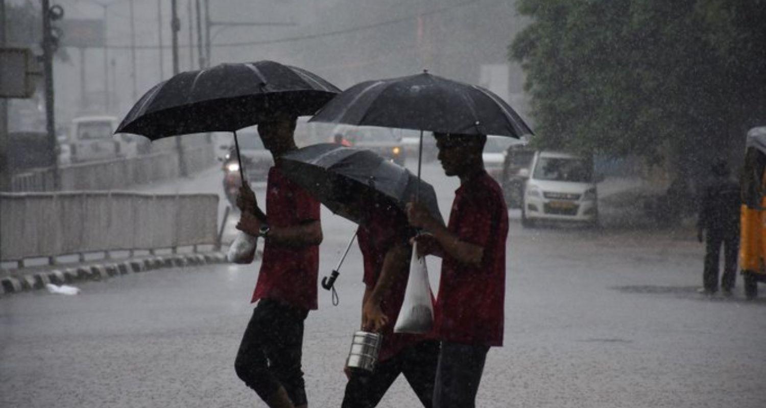
A depression over the Bay of Bengal is expected to intensify further over the coming 24 hours, raising serious concerns of widespread heavy rainfall across Odisha. The weather system, currently centred around 180 km from Balasore and 170 km from Chandbali, is moving in a northwesterly direction.
Forecasters expect the system to strengthen into a deep depression before making landfall along the north Odisha and West Bengal coasts, between Paradip and Sagar Island. Having earlier intensified from a well-marked low-pressure area, the system is driving predictions of heavy downpours statewide for the next 48 hours, prompting authorities to issue a red alert for the next two days.
Heavy and continuous rain has already hit several regions, with some areas experiencing incessant showers while others face intermittent heavy downpours. The India Meteorological Department expects these conditions to persist over the next five days, placing warnings on all but five of the state's districts.
For Sunday, Keonjhar district faces a red alert for extremely heavy to exceptionally heavy rainfall. An orange warning for heavy to very heavy rain covers ten districts, while the remaining 14 are under a yellow warning for heavy downpours. Alongside the rain, the weather office has advised that winds of 30 to 40 km/h are likely to affect several areas.
Also read: IMD issues red alert for six Odisha districts

 Follow us