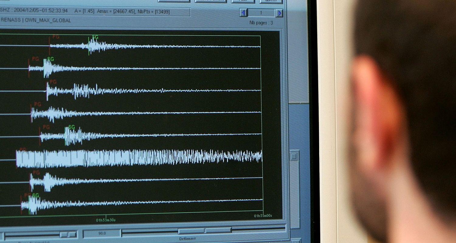
An earthquake of magnitude 3.9 on the Richter scale struck Leh in Ladakh on Friday, according to the National Centre for Seismology (NCS). The tremor occurred at a depth of 10 kilometres.
In a post on X, the NCS reported, “EQ of M: 3.9, on: 27/03/2026 08:31:09 IST, Lat: 36.692 N, Long: 74.382 E, Depth: 10 Km, Location: Leh, Ladakh.”
For scientific purposes, earthquake depths are divided into three zones: shallow (0–70 km), intermediate (70–300 km), and deep (300–700 km). The term “deep-focus earthquakes” generally applies to those deeper than 70 km, according to the US Geological Survey (USGS).
Ladakh’s geography makes it highly prone to natural disasters, particularly flash floods and earthquakes. Situated in the tectonically active Himalayan region, the Indian tectonic plate is continuously colliding with the Eurasian plate.
This ongoing collision generates immense pressure, activating major fault lines such as the Karakoram and Shyok Suture zones and placing the region in the high-risk Seismic Zone IV.
Also read: New sun will rise: Wangchuk says after return to Leh

 Follow us